All year round.
Subject to snow conditions.
Free of charge.
Also known as "The Queen of the Alps", is Sixt's best-known waterfall. The torrent surges dramatically in two huge steps, falling for over 80 metres.
It's located 6 kilometres beyond the hamlet of Salvagny, and you can get there easily by car except in winter. In the winter months the road is closed to cars but you can park near the road block and then walk or snowshoe to the waterfall. It takes an hour and a half there and back and is at a height of 1000 metres - a height gain of about 100 metres from the car park.
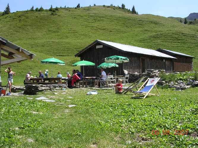
Authentic, simple and good quality, this mountain refuge hut is located at the "Chalets d'Anterne". Accessible from Sixt in two hours via the beautiful waterfall of La Pleureuse. it is advisable to arrive in the afternoon to allow time to e...
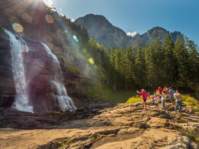
The Cascade du Rouget, nicknamed the "Queen of the Alps", offers visitors a contemplative and refreshing break.
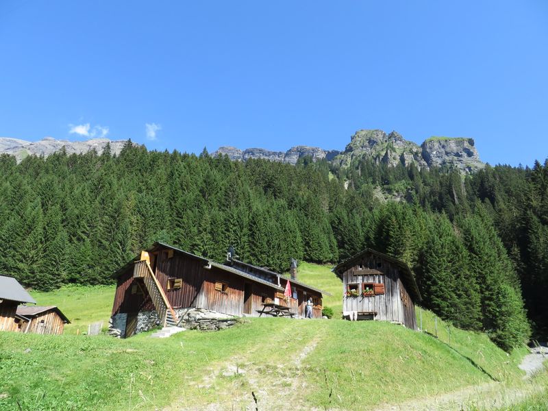
Refuge located at the entrance of the wild Cirque des Fonts. The Fonts alpine pasture reveals itself as a jewel in a setting of unspoiled nature.

This summer, let yourself be transported with great serenity. Discover the villages, go for some grocery shopping, reach a hiking trail, the leisure areas or the "Au fil du Giffre" walking path...
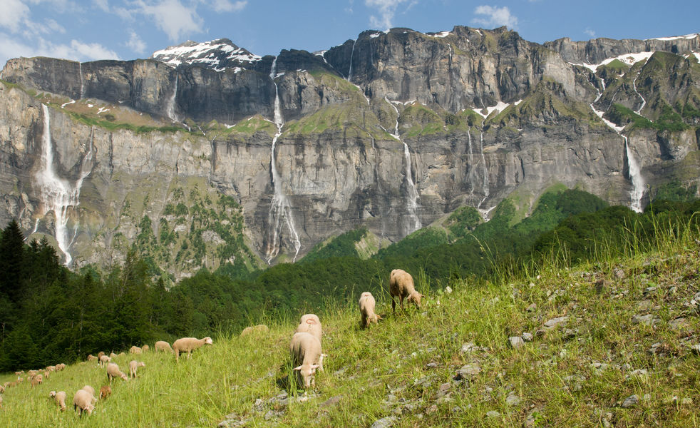
A unique area with impressive rock faces, cliffs 2000 metres high, and hiking trails past numerous waterfalls.
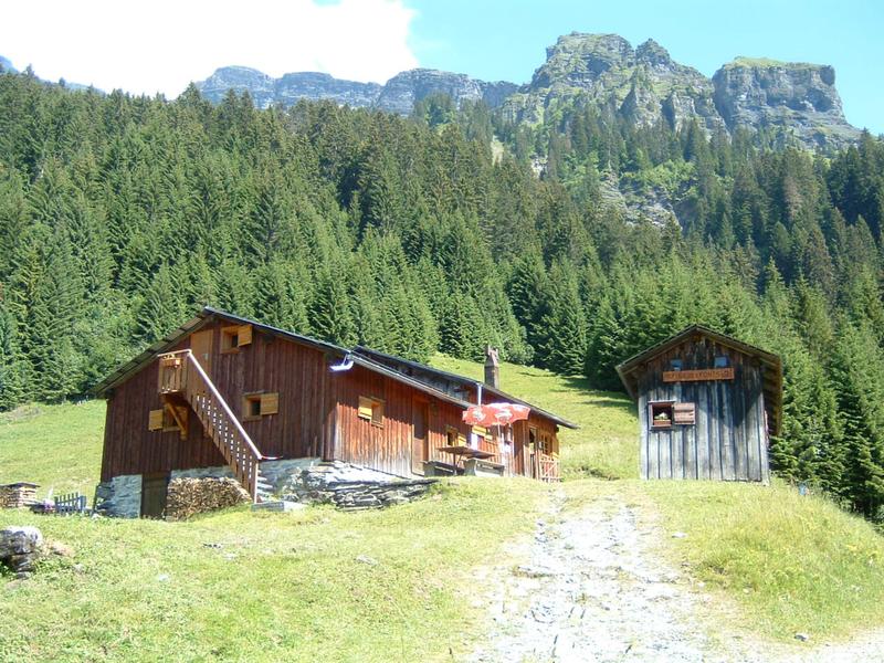
Discover the mountain bike route to the Chalet des Fonts! Perfect for challenge-seekers, this challenging route takes you over the gorges to the bridge over the Giffre des Fonts, giving access to the refuge and alpine pastures.
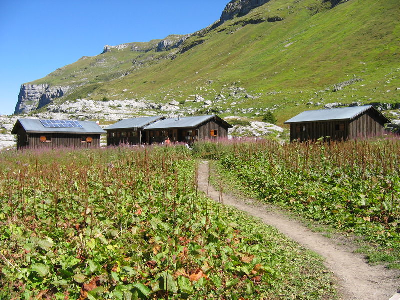
Refuge located in a preserved valley in the heart of the Sixt-Fer-à-Cheval nature reserve. Family hike appreciated for its numerous waterfalls amidst ibex, chamois and marmots.