How to reach the tourist office?


From 01/07 to 31/08.
Subject to favorable weather.
This superb tour combines several hikes set out in the guide published by the Upper Giffre association.
It enables you to explore all the facets of the Upper Giffre: the valley, its history and its population, the forests, the mountain pastures, and the mountain trails that provide some splendid panoramic views. The tour takes 6 or 11 days to complete and is intended for experienced hikders.
Starting altitude: 1,691m
Finishing altitude: 1,770 m
Particular difficulties: none
Recommended period June to the first snowfalls.
Itinerary for guidance only.
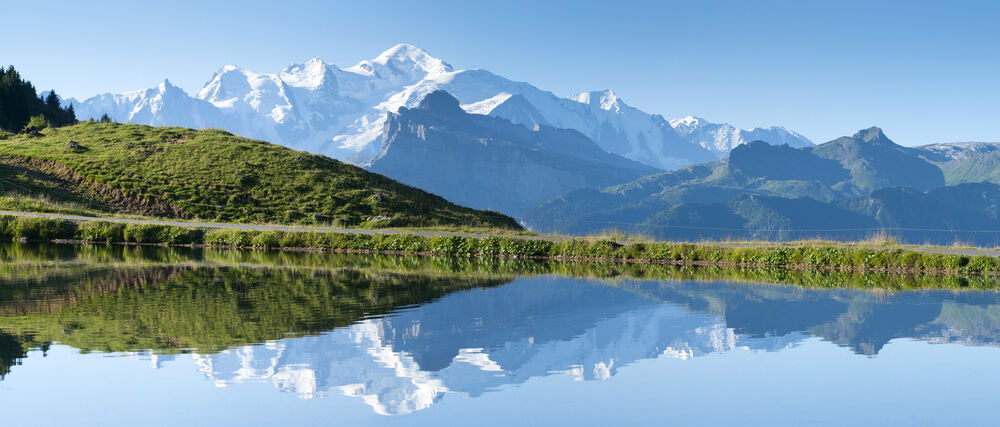
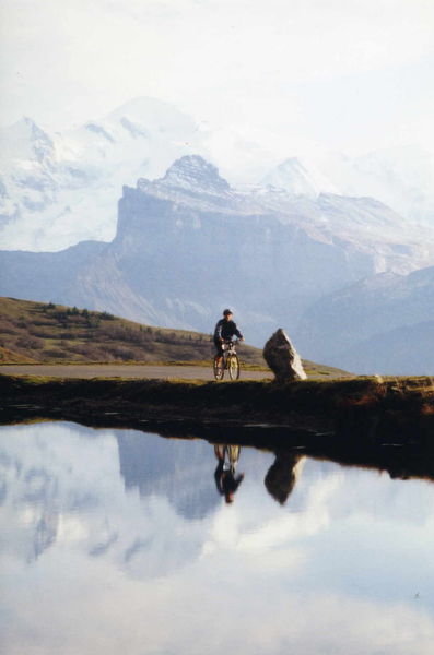
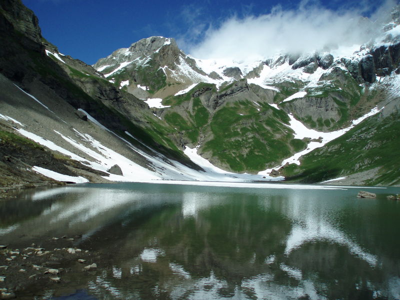
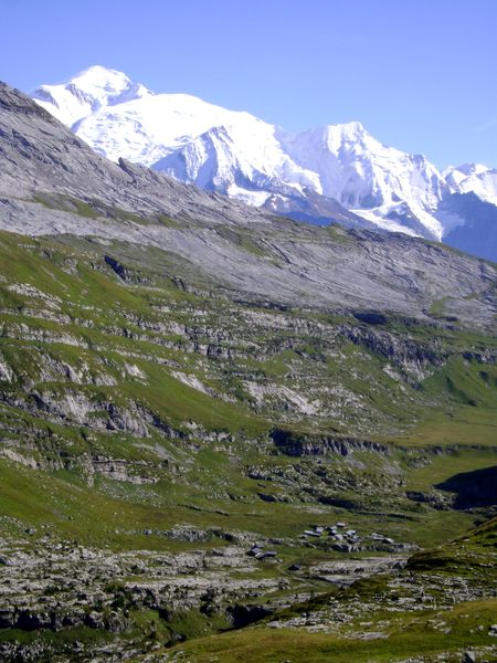
This aerial route is a wonderful viewpoint over the Chablais, Haut Giffre and Mont Blanc massifs. The Joux Plane lake is an artificial lake used to water the herds of the mountain pasture and to regulate the course of the Valentine torrent.
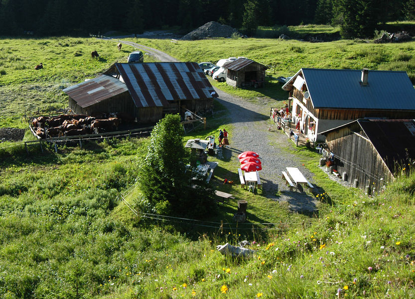
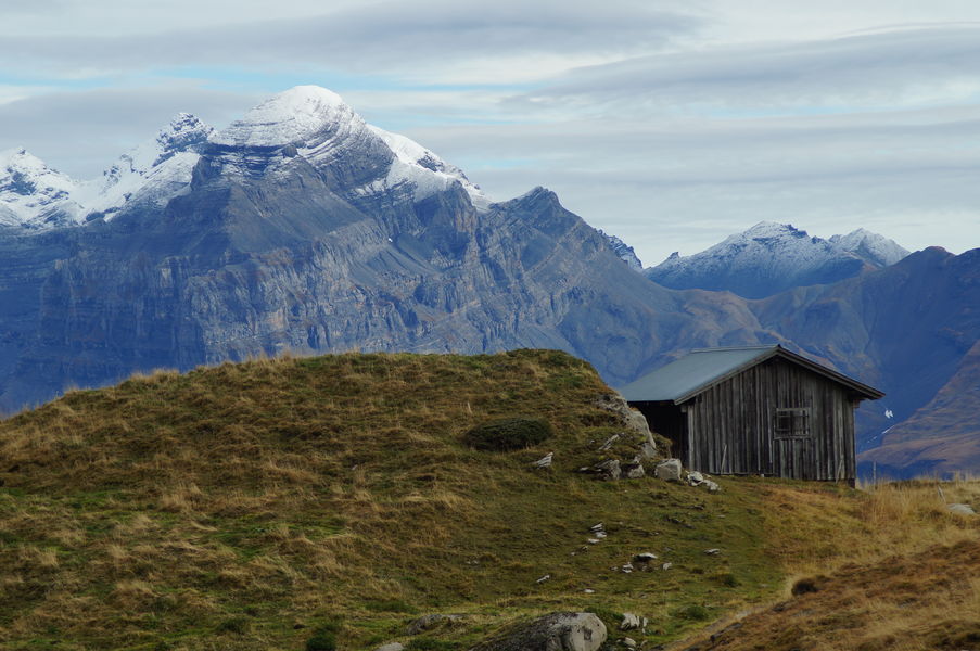
A friendly, family-run mountain pasture. We will be happy to welcome you for a night's rest in our refuge (in dormitory only) or for a simple and generous meal in our inn (only at lunchtime).
A refuge in a very relaxing environment, to spend a pleasant stay surrounded by nature. The hike is accessible to children aged 5 and over, depending on their abilities.


