From 11/06 to 11/09 daily.
Call the refuges to find out about day-to-day access conditions. As the weather in our region is very unpredictable, we advise against leaving on a rainy day. Please contact the refuges, who are best placed to advise you.
Subject to favorable snow and weather conditions.
Managed by the International Association for Tour of the Dents Blanches (AITDB), this Franco-Swiss tour takes you on a route that is hospitable at times, e.g. on the way through the pastures in Barme (Switzerland), or wild as it is in the Ottants pass.
Starting point: Samoëns
Departure altitude: 720m
Arrival altitude: 2548m
Map reference: 1:25,000, Top 25 n°3528 ET, 3530 ET. At 1:100,000: IGN n°45.
Terrain: Meadows, woods, forests, rocky, depending on the route.
Hiking level: From family walks (1*) to family hikes (2 to 3*).
Particular difficulty: No major difficulties. The passage des Ottans may present difficulties until early July due to snow conditions.
Marking: In France, yellow and red GR de Pays markings. In Switzerland, white-red-white mountain trail markings.
The Tour des Dents Blanches jumps mountains between Switzerland and France, providing not only a sporting thrill, but also a complete change of scenery. A 6 to 8-day long mountain itinerary will give you the chance to appreciate an unspoilt region that knows how to live with the times. A lovely blend of Valais and Haute-Savoie, with resort villages, gîtes and refuges, chalet museums, customs, sports and leisure facilities...... Not forgetting, of course, the people and the pleasure of sharing this art of living.
The Tour des Dents Blanches is a mid-mountain route, with sections approaching high altitude and requiring, depending on snow conditions, appropriate equipment (rope, ice axe, even crampons for the nevé below the Ottan ladders). It is aimed at experienced hikers with good orientation skills (the route between Susanfe and La Vogealle is not very clear in fog). Depending on the year, the Passage des Ottans can present significant difficulties until early July.
The recommended direction of rotation is clockwise: Samoëns-Morzine-Champéry-Sixt, due to the progression of difficulties and the fact that the Ottan ladders are trickier to climb than to descend.
 Complément d'informations
The Tour des Dents Blanches is a major hike straddling the border between France and Switzerland, in the Chablais Alps. It's a popular route for experienced hikers in search of spectacular scenery, but also for those who enjoy a technical challenge.
Type of hiker
The Tour des Dents Blanches is primarily aimed at experienced, well-prepared hikers. Here's why:
Experience Required: Good physical condition and previous mountain experience are recommended, especially on technical trails.
Equipment: Full high-mountain gear is required, including sturdy boots, hiking poles, a topographical map, and possibly a helmet for some of the more technical sections (and sometimes even crampons and ice axes, depending on current snow conditions).
Route difficulties
Aerial passages and vertigo: Much of the tour takes place on narrow ridges with impressive views over the surrounding valleys. This means that people prone to vertigo need to be particularly careful. There are several passages where the trail is narrow, with steep slopes on either side.
Weather conditions: The alpine climate can be unpredictable, with rapid weather changes. Snow can persist on some sections even in summer, adding to the difficulty.
Elevation gain: The tour involves numerous vertical drops, with continuous ascents and descents. Some days may involve steep, strenuous climbs.
Duration: The entire tour can be completed in 4 to 6 days, depending on pace and conditions. The stages are long and can be exhausting, especially with a heavy backpack.
Positive Aspects and Attractions of the Tour
Breathtaking scenery: The Tour des Dents Blanches offers exceptional panoramas of the surrounding peaks, glaciers and valleys. Views of the Dents Blanches themselves are particularly spectacular.
Huts and accommodation: All along the route, a number of refuges offer the chance to rest in an authentic mountain setting. They also offer an opportunity to meet other hikers and share experiences.
Fauna and flora: The region is rich in biodiversity, with the possibility of seeing ibex, chamois, marmots and a variety of mountain birds. The flora is also abundant, especially in spring and summer, with flowering meadows and alpine forests.
Sense of Adventure: The route, with its technical challenges and wild landscapes, offers a real sense of achievement. It's an adventure off the beaten track, away from the crowds, which reinforces the uniqueness of the experience.
Practical advice
Physical preparation: It's advisable to train before embarking on the tour, in particular with one-day or multi-day hikes to accustom the body to the effort involved.
Planning: Always check the weather conditions before setting off, and be prepared to adapt your itinerary accordingly. In bad weather, some sections can become dangerous.
Acclimatization: If you're not used to the altitude, it may be useful to spend a few days acclimatizing before starting the tour.
All in all, the Tour des Dents Blanches is a spectacular but demanding hike, which will reward experienced hikers with magnificent scenery and a profound sense of achievement.
1/ From the hamlet of Allamands.
2/ Reach the Golèse refuge.
3/ From the Golèse refuge to the Barmaz canteen.
4/ From the Barmaz canteen, head for the Vogealle refuge.
5/ From the Vogealle refuge, head for the Folly refuge.
6/ From the Folly refuge, return to Les Allamands.
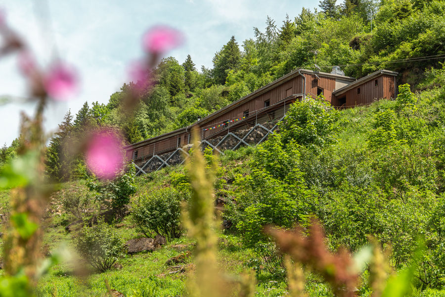
A starting point for numerous races and circuits, the Refuge du Folly is the perfect place to discover the extraordinary flora and fauna of our mountains. Accessible to all types of hikers, from the most experienced to those taking their fi...
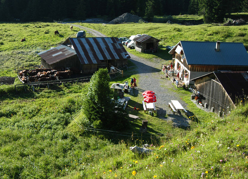
A friendly, family-run mountain pasture. We'll be delighted to welcome you for a restful night in our refuge (dormitory only) or for a simple, generous meal in our inn (lunchtime only, preferably by reservation).
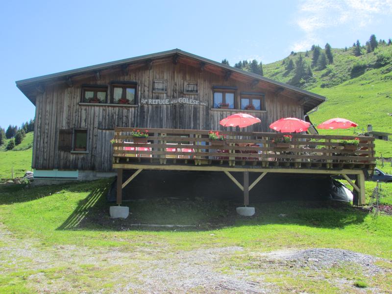
The mountain hut is situated at the Col de la Golèse in the middle of an alpine meadow. It offers a wonderful panorama on the south side overlooking the Giffre valley and Samoëns and on Morzine and Manche valley on the north side.
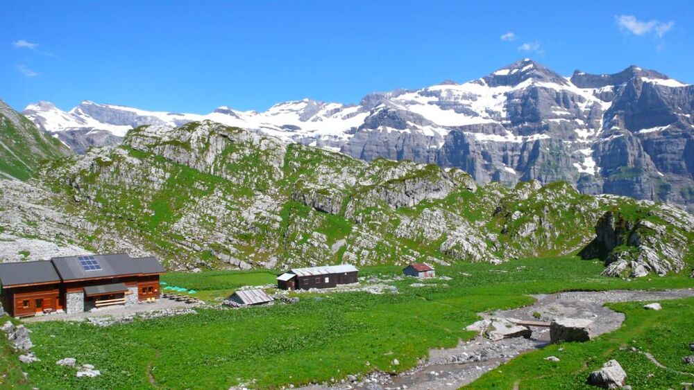
Located in the Sixt-Fer-à-Cheval nature reserve, this refuge can be reached in 3-4 hours' walk from the Fer-à-Cheval cirque.
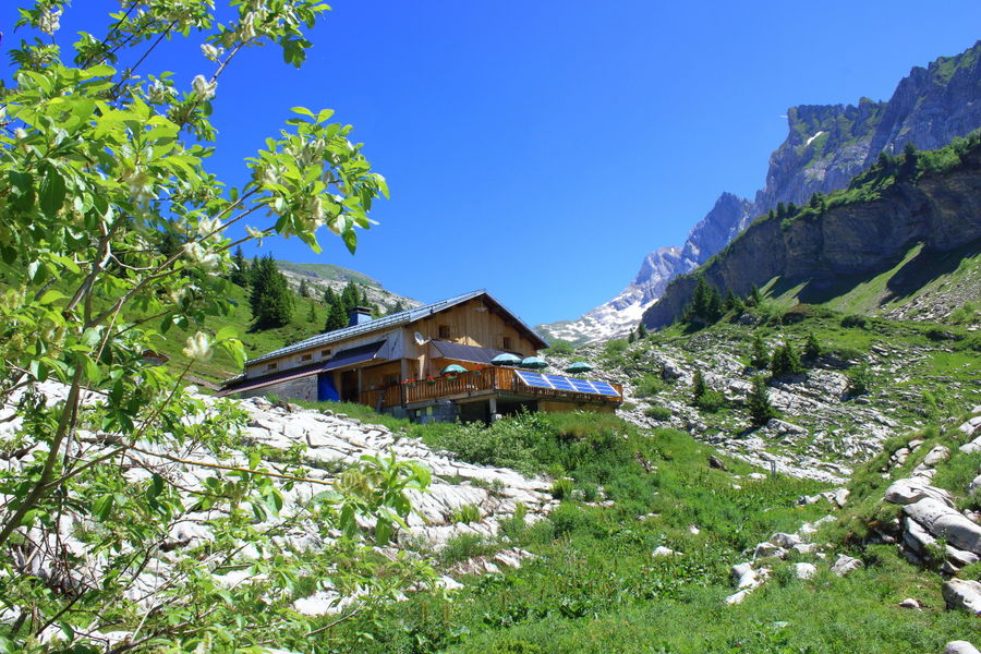
Above Samoëns and isolated in the mountains, the Bostan refuge is the ideal place to welcome hikers for a short break or for the night. Accommodation and catering in the mountains. Home and local products. Pleasure for the eyes and taste bu...